Places
Gedung Agung
Presidential palace complex associated with the Republican government in Yogyakarta, 1946–1949. The coordinate follows the heritage register’s reference for the palace complex.
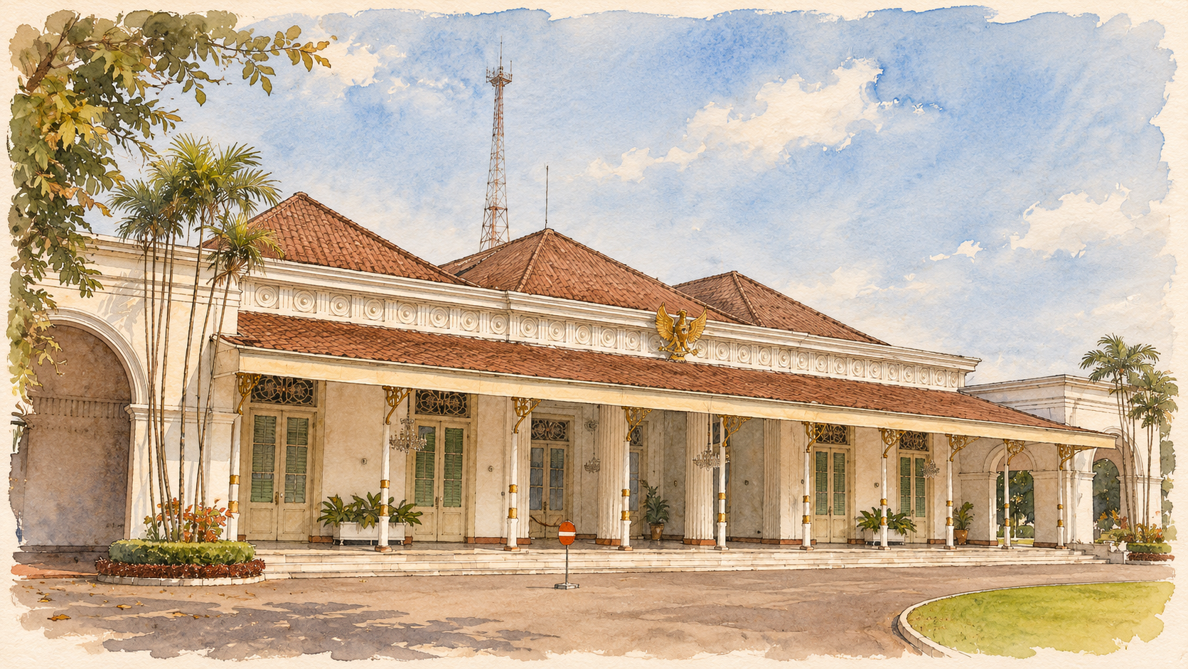
A former colonial residence became a Republican seat of government. It illustrates how existing buildings were repurposed during the struggle for independence.
Connections
- Gedung Agung — location reference ↗Source
This reference identifies the place and its location.
Linked from
- Provincial KNI office ↗Associated events
This event forms part of the place’s documented history.
- Republican government centre ↗Associated events
This event forms part of the place’s documented history.
- Return to Yogyakarta ordered ↗Associated events
The atlas associates this event with this place.